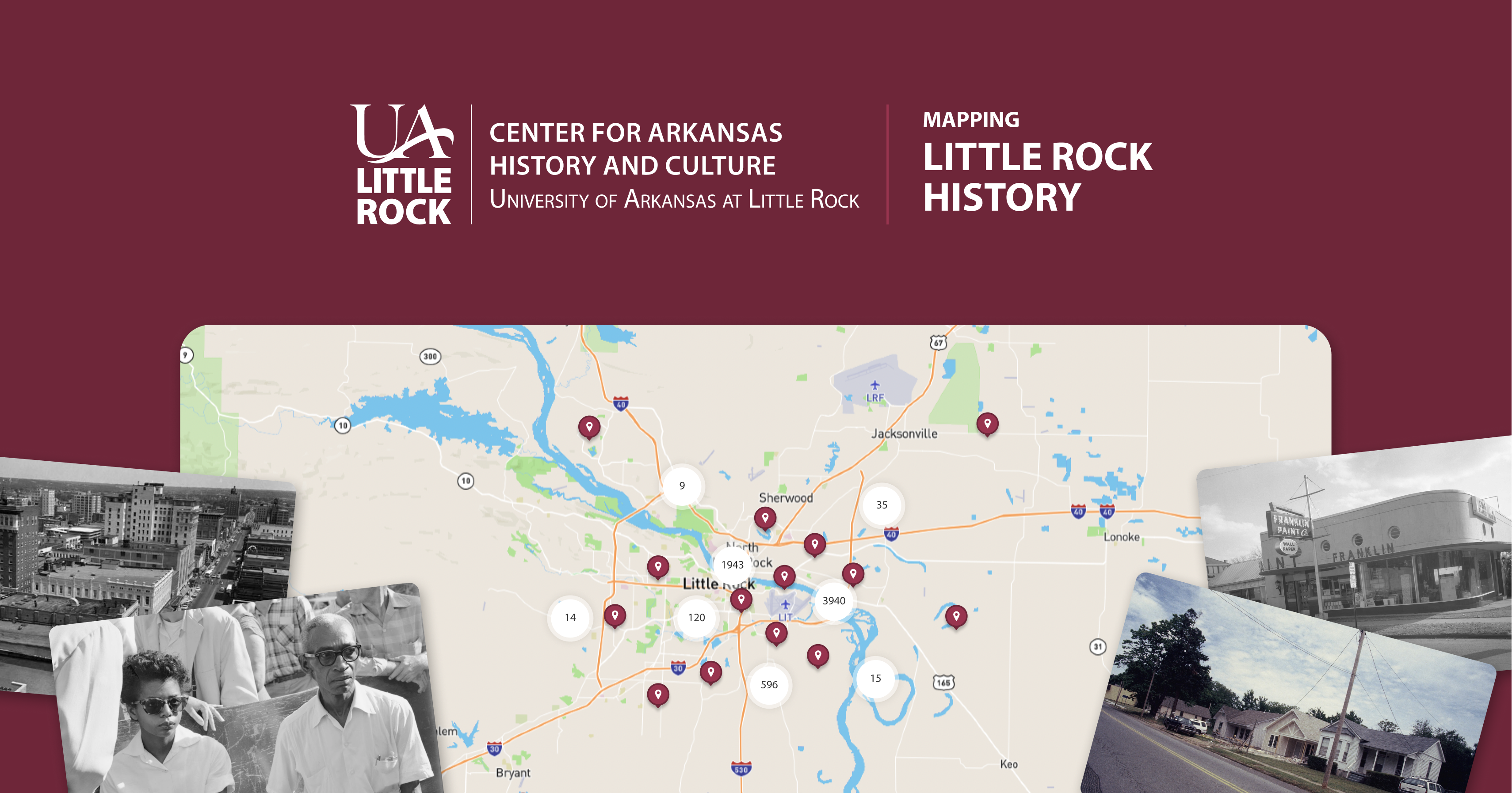
Mapping Little Rock HistoryA century of a city’s change, on one map
Everyone knows Little Rock for Central High in 1957. Fewer people know what happened to the city around it. In the decades that followed, federal urban renewal reshaped where families lived and where their kids went to school. The record of all that sat in archive boxes spread across several institutions, and getting to it meant booking an appointment and knowing exactly what to ask for.
The UA Little Rock Center for Arkansas History and Culture set out to change that. With two National Endowment for the Humanities grants totaling more than $375,000, the CAHC digitized and geolocated over 200,000 historical items from its own collections, the City of Little Rock, the CALS Butler Center for Arkansas Studies, and the Central High School National Historic Site. They brought Few on as design and development partner to turn that archive into something anyone could explore.
The Challenge
Two hundred thousand items is a lot of history to put on a map. The records run from 1880 to 2014, most of them from the ’60s, ’70s and ’80s, and they come in every format an archive holds: maps, architectural drawings, documents, photographs, audio and video. The audience was just as broad. A teacher building a lesson on desegregation and a planner checking what used to stand on a parcel both needed to find what they came for, without a research appointment or an archivist at their elbow.
What We Built
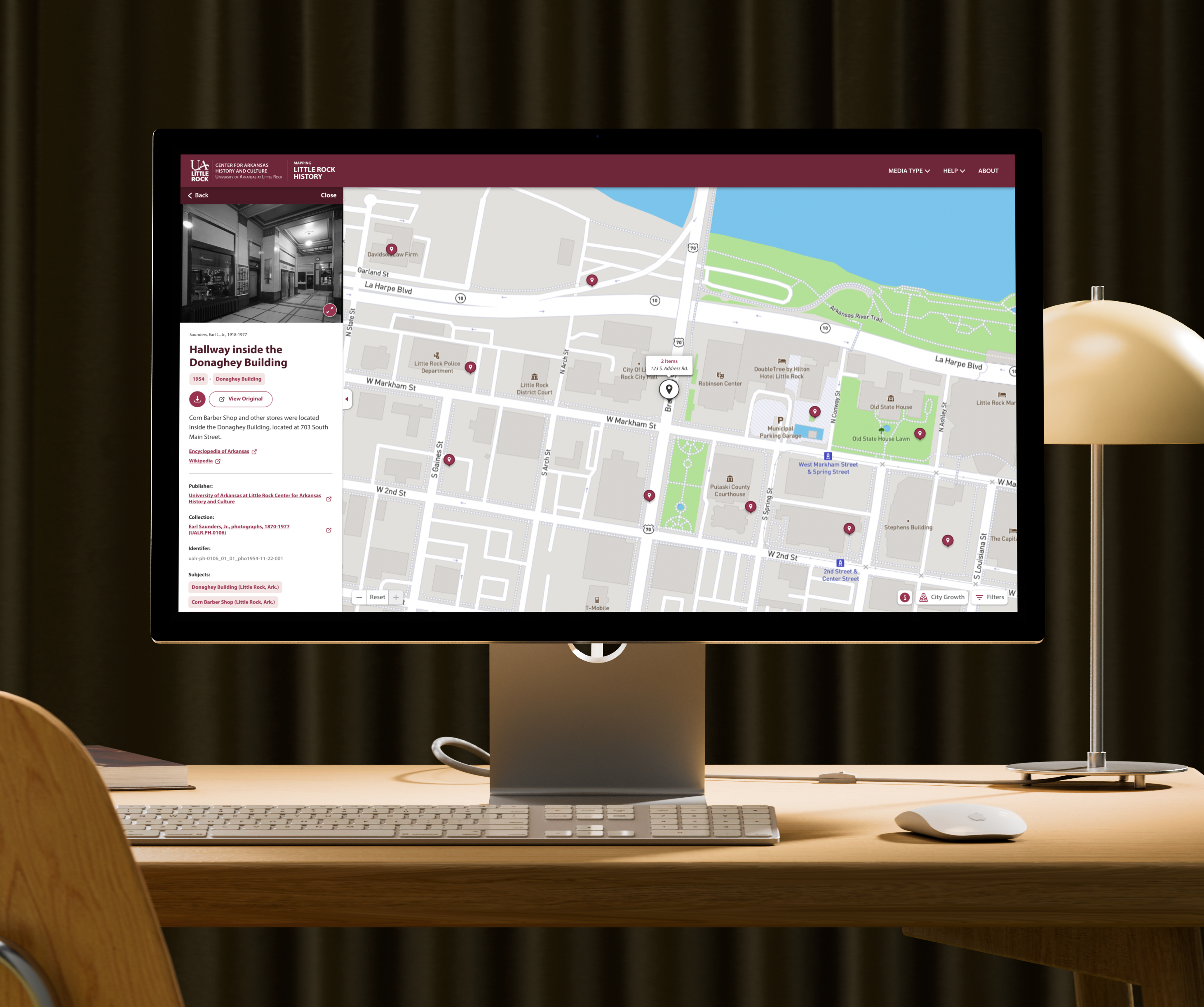
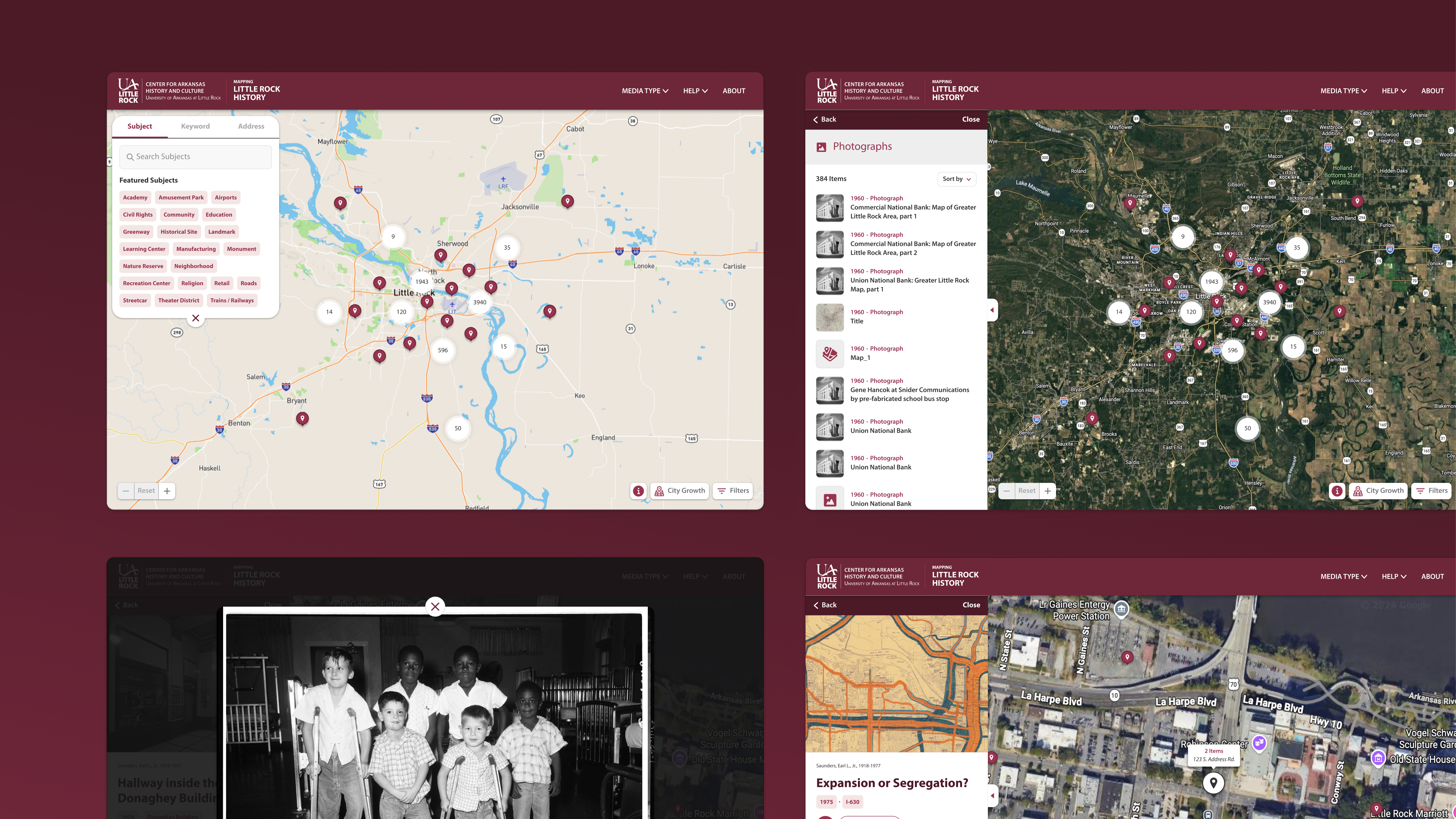
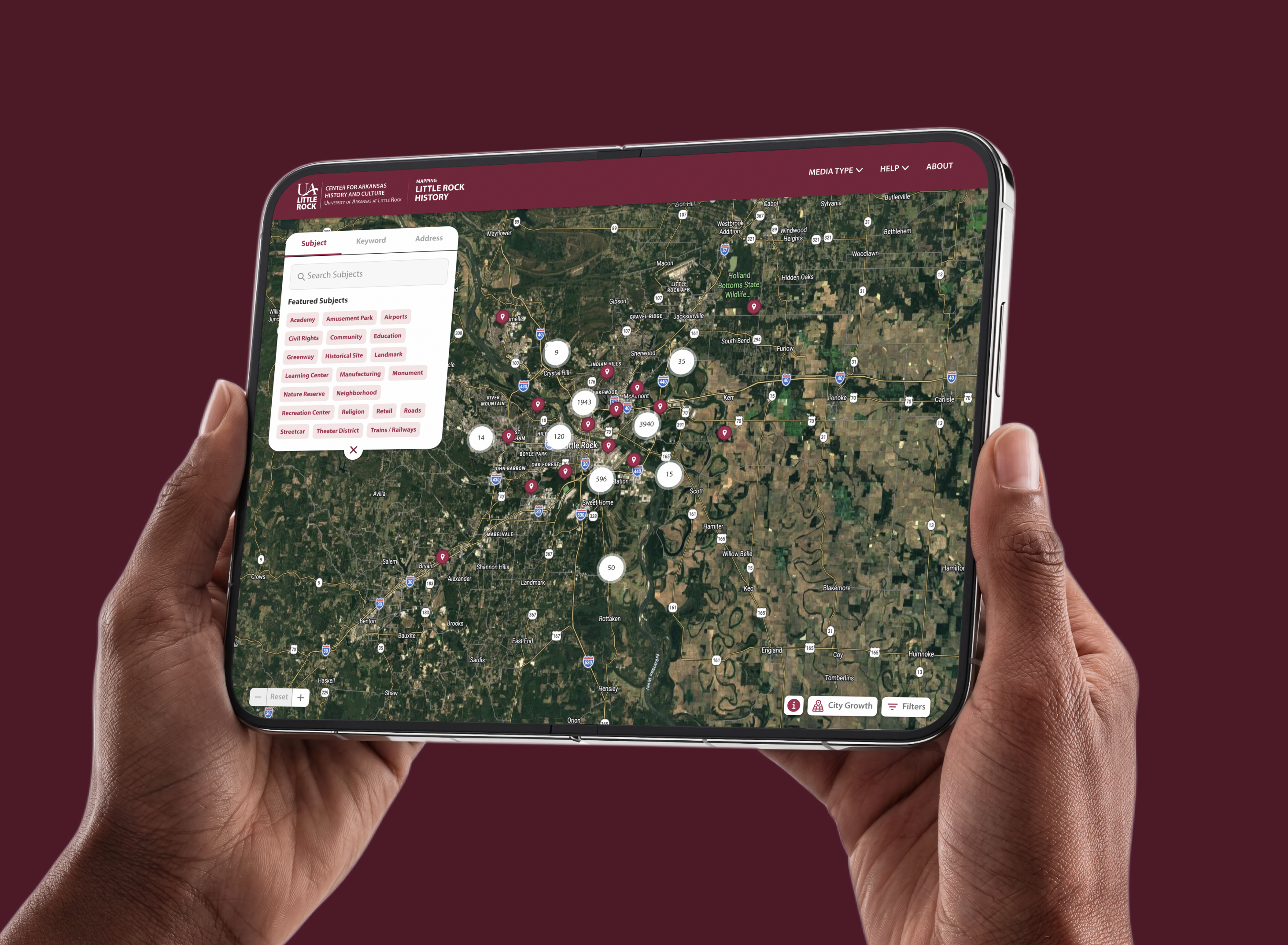
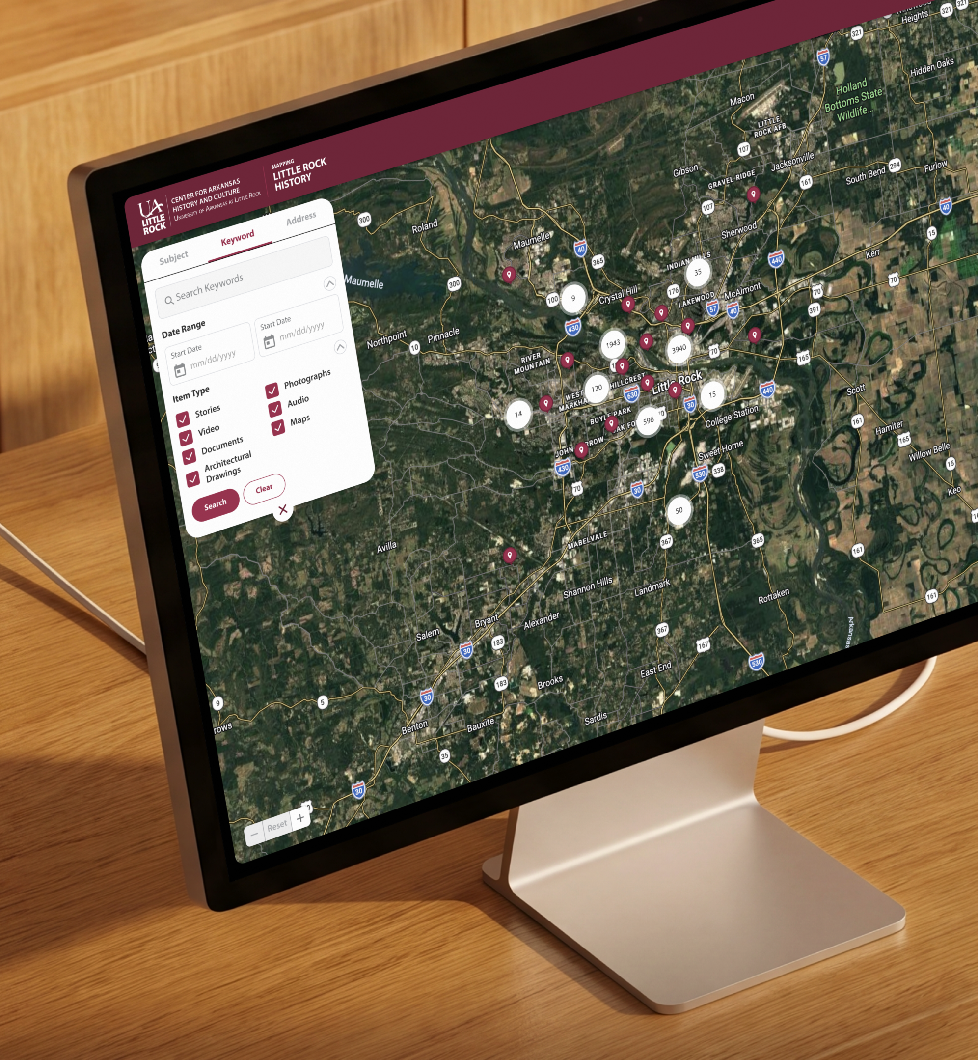
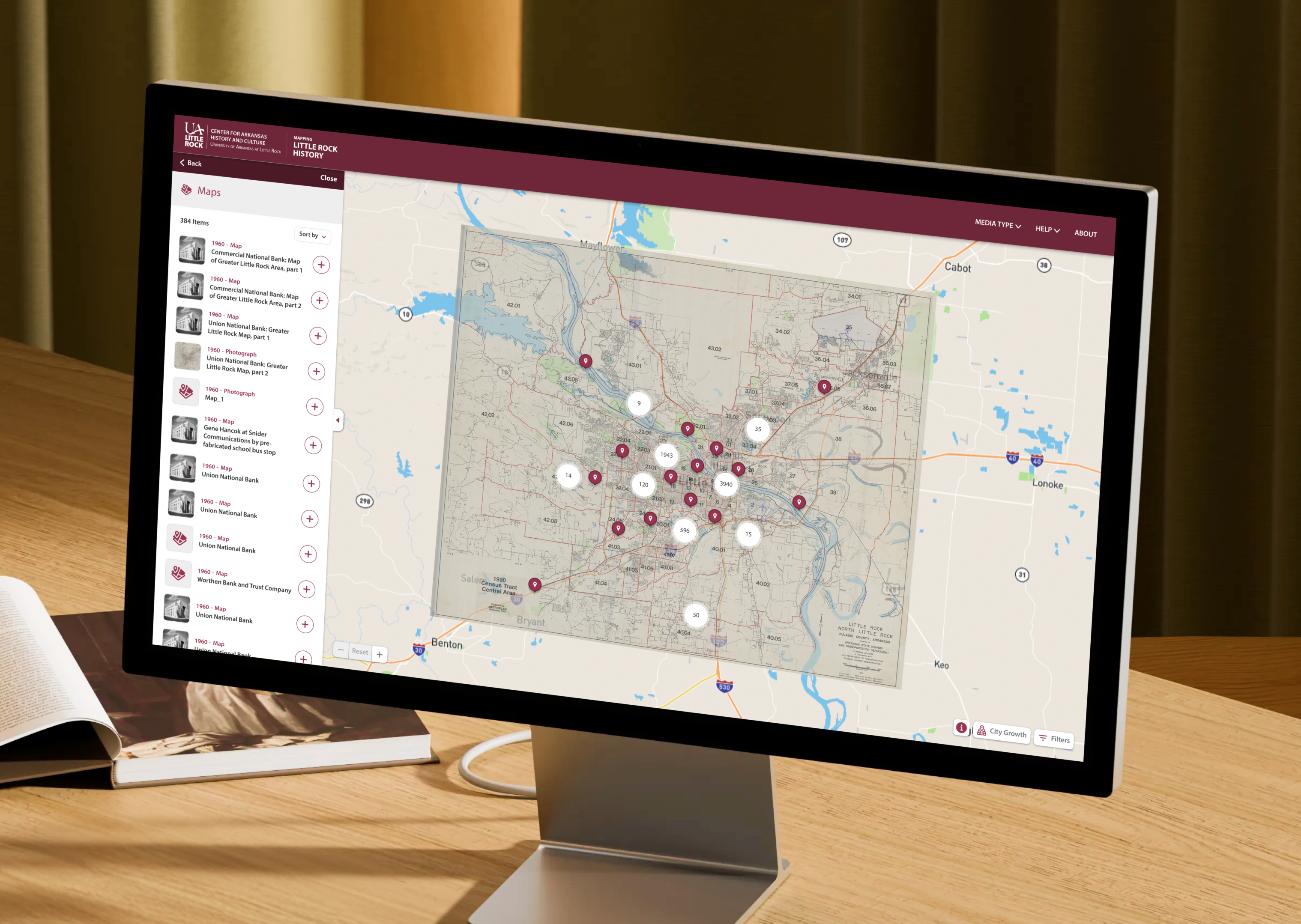
We made the map the interface. Search by keyword or street address, narrow by date range and media type, and results land where they happened. Dense areas collapse into clusters that open up as you zoom, so downtown doesn’t drown in pins. Tap one and a side panel slides out with the item’s details, a full-screen view, a download, and tags that lead to related material.
The overlay is where people linger. Lay a historic map over today’s street or satellite view and you can see what stood where, block by block. A City Growth layer traces Little Rock’s annexations over time, with the source documents behind each one.
We built it alongside the CAHC team, UA Little Rock’s CRUX Lab and the Arkansas Economic Development Institute, shaping the experience around how archivists describe place-based material and how regular people actually go looking for it.
The Reult
Mapping Little Rock History launched in October 2024 after five years of work by more than 50 people, many of them UA Little Rock students. It’s a free public resource for students, educators, historians, planners, architects and anybody curious about the street they grew up on. The CAHC has since built teaching material on top of it, including K-12 resources and walking tours of West Ninth Street, once the heart of Little Rock’s Black business district.
As CAHC assistant director Laura McClellan put it at launch, “There’s no need to visit a physical archive.”

Next LaunchAMFA Mobile Guide